
Land Survey Companies for Property Described by a Century-Old Deed
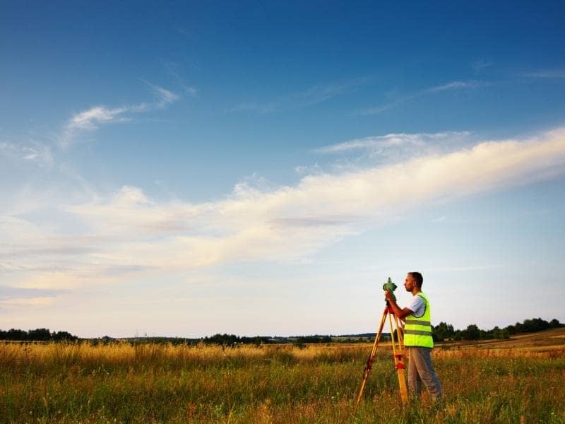
Some properties still carry deeds written before paved roads existed. The legal description might reference a fence post, a specific oak tree, or a neighbor who died decades ago. None of that helps you today if you need to sell, build, or settle a boundary question.
A land survey is how you turn that old paperwork into a clear, current map of your property. It takes vague or outdated language and ties it to real, measurable points on the ground. If you own land tied to an old deed, this article walks through how a survey team approaches the work and what you should expect along the way.
Start With the Original Deed and Its Legal Description
Every land survey of an old property starts with the original deed. This document holds the legal description, which is the written explanation of where the property lines run. Old deeds often use a method called metes and bounds, which describes boundaries using directions, distances, and physical markers instead of GPS coordinates.
Some of these markers no longer exist. A tree may have died, a stake may have rotted away, or old fence lines may no longer clearly reflect the original boundary.
A surveyor working on a century old deed will look for:
- The starting point of the description, often called the point of beginning
- Compass directions and distances between each boundary point
- Named markers such as trees, stones, stakes, or fence corners
- References to adjoining landowners at the time the deed was written
Some of these markers no longer exist. A tree may have died, a stake may have rotted away, or a fence line may have moved over the years. That does not mean the survey is impossible. It means the surveyor has more research ahead before setting foot on the property.
Trace Later Deeds and Adjoining Property Records
The original deed is rarely the whole story. Land gets divided, sold, and passed down over generations, and each transaction can shift or clarify the boundary picture. A thorough land survey traces the chain of title forward from the original deed to understand how the property has changed hands.
This research usually includes:
- Deeds for the subject property recorded after the original document
- Deeds and surveys for adjoining properties, since their descriptions may reference the same boundary lines
- Plats or maps filed show how nearby land was divided
- Any recorded easements or right-of-way grants tied to the property
Adjoining property records matter more than most owners expect. If a neighbor’s deed describes the shared line differently than yours, that conflict needs to get resolved before a current survey can be finalized.
Why County Records Take Time
Older counties, including areas, sometimes have records that are handwritten, poorly scanned, or filed under an old naming convention. Pulling a full title history on a century-old property can take longer than a standard survey research phase, so build extra time into your schedule.
Search the Property for Remaining Boundary Evidence
Paper research only gets you so far. At some point, a surveyor has to walk the land and look for physical evidence that connects the old deed language to the ground.
This field search often turns up:
- Old fence lines, even partial or fallen ones
- Iron pins, stones, or other monuments set by earlier surveyors
- Visible tree lines or tree rows that once marked a boundary
- Changes in vegetation or land use that hint at an old dividing line
Not every property has visible clues left. Decades of farming, clearing, or development can erase physical evidence completely. When that happens, the surveyor relies more heavily on the deed research and adjoining property ties to reconstruct the boundary.
Reconcile Old Deed Calls With Current Field Measurements
This is where old paperwork meets modern equipment. A surveyor takes the calls from the century-old deed, meaning the recorded directions and distances, and compares them against precise measurements taken on-site today.
Discrepancies are common and expected. A deed written before modern surveying tools may have small measurement errors, or the compass directions may reflect an older magnetic reference that has since shifted. Part of the surveyor’s job is judgment, not just math. They weigh which evidence is most reliable, including:
- Physical monuments found in the field
- Long-standing fence lines that suggest where owners historically treated the boundary
- Deed language from the original and later transactions
- Survey records for adjoining parcels
If the old deed and current measurements do not match perfectly, the surveyor documents the difference and explains how they reached their conclusion. This reasoning matters if a boundary question ever comes up later, including during a sale or a dispute with a neighbor.
Prepare a Current Survey From Historical Boundary Evidence
Once the research and fieldwork are done, the surveyor prepares a new survey that reflects the property as it exists and as the law recognizes it today. This document becomes the modern replacement for the old deed language, while still respecting the original intent of that century-old description.
A current survey typically includes:
- A clear map showing all boundary lines, corners, and dimensions
- Any easements, encroachments, or gaps found during research
- A written legal description that can be used for future deeds
- Notes explaining how the surveyor resolved conflicts between old and new evidence
This survey gives you something the original deed never could: a document that a title company, lender, or buyer can rely on today. It also protects you if a boundary question comes up years from now, since the reasoning behind each decision is on record.
Requirements for what a survey must include can vary by lender, title company, or intended use of the property, so confirm those details early if you are working toward a closing, permit, or construction start date.
Frequently Asked Questions
Can a land survey company still work with a deed from the 1800s or early 1900s?
Yes. Surveyors regularly work with old deeds, though the research phase usually takes longer than it would for a modern property with clear records.
What if the old deed markers no longer exist?
The surveyor relies on other evidence, including adjoining deeds, historical maps, and any physical clues still on the property, to reconstruct the boundary as accurately as possible.
Will a new survey change my property’s legal description?
It can update the description to reflect current measurements and modern standards, but it should still respect the original boundary intent from the historic deed.